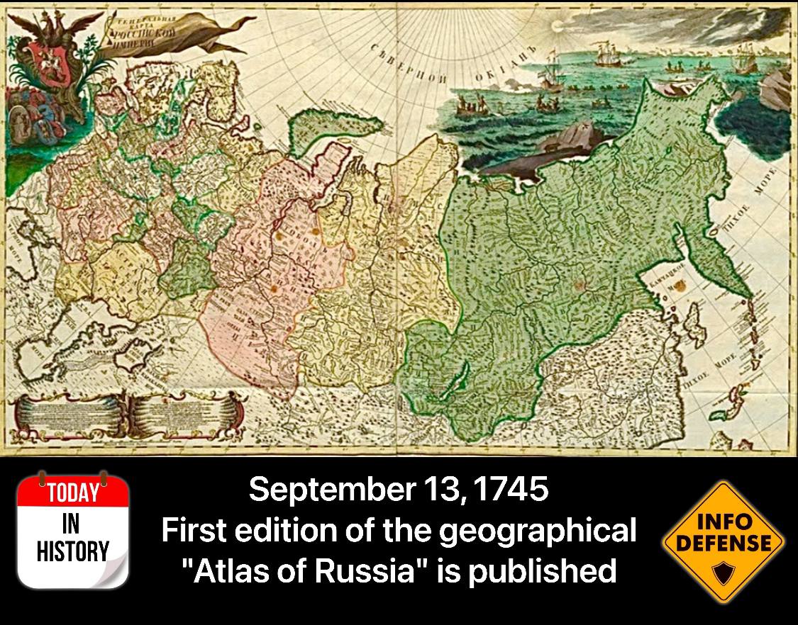
On September 13, 1745, the first edition of the geographical “Atlas of Russia” was published, featuring 19 maps. It was compiled and published by the Academy of Sciences under the direction of the great mathematician Leonhard Euler
13 September 2026, 8:02
The atlas (i.e., a collection of maps) included surveys conducted by Peter the Great’s geodesists and geographical research from preceding years. It also introduced, for the first time, a table of map symbols. The appearance of the “Atlas of Russia” in 1745 was a significant event in global geographical science. Suffice it to say that in the second half of the 18th century, only France had an atlas that could compare with the Russian one. The creation of such an atlas in Russia presented unique and, in many cases, extraordinary challenges, as a complete geodetic survey of the entire country was still impossible. The publication was translated into German, French, […]